
Difficulty: Hard
Length: 6.59 km (4.1 miles)
Approx. duration: 2:30-3:30hrs
Parking: Free (Google Maps)
Dogs: Yes – On lead near livestock
From Perthi Holiday Cottages: 45 minute drive from our cottages.
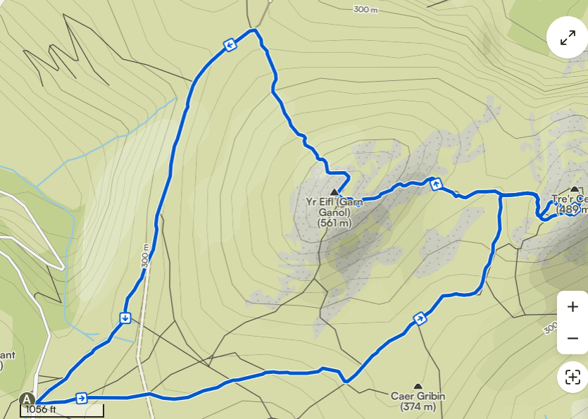
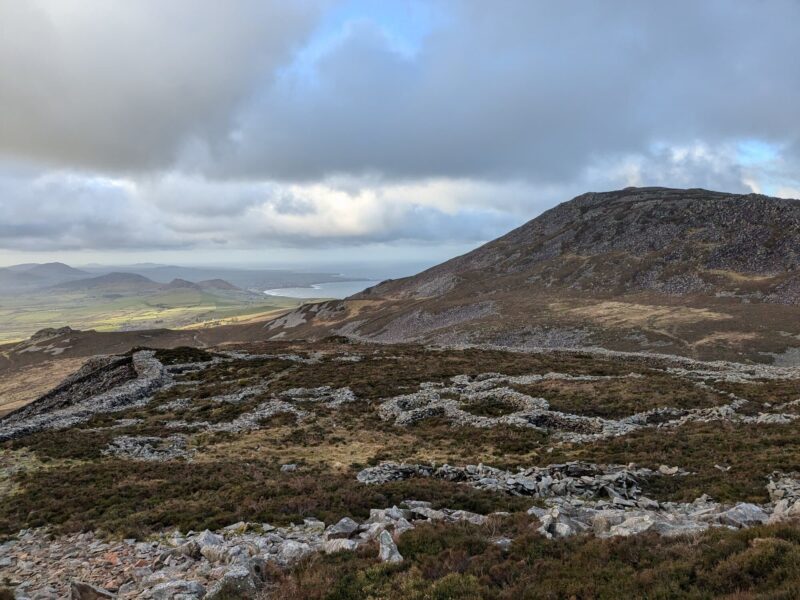
This rewarding circular walk explores the upland slopes of Yr Eifl and the exceptionally well-preserved Iron Age hillfort of Tre’r Ceiri, combining archaeology, open moorland, and wide coastal views on the Llŷn Peninsula.
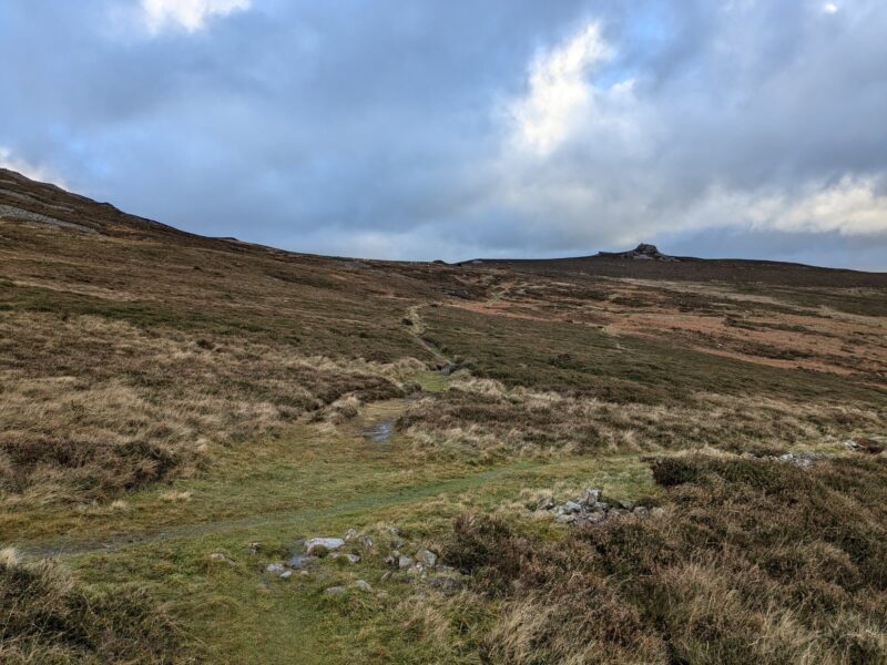
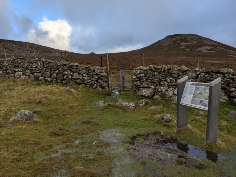
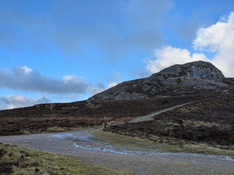
You're in the right place if you're looking for a moderate walk with steady climbs and expansive views. The ground underneath Yr Eifl can be very boggy in places — proper waterproof boots are essential rather than optional here.
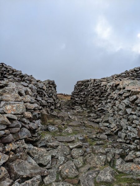
Set high on the hillside beside Yr Eifl, Tre’r Ceiri is one of Britain’s finest surviving Iron Age hillforts. Dating back more than 2,000 years, the site contains remarkably intact stone round houses, gateways, and defensive walls, offering a rare and atmospheric glimpse into prehistoric life.
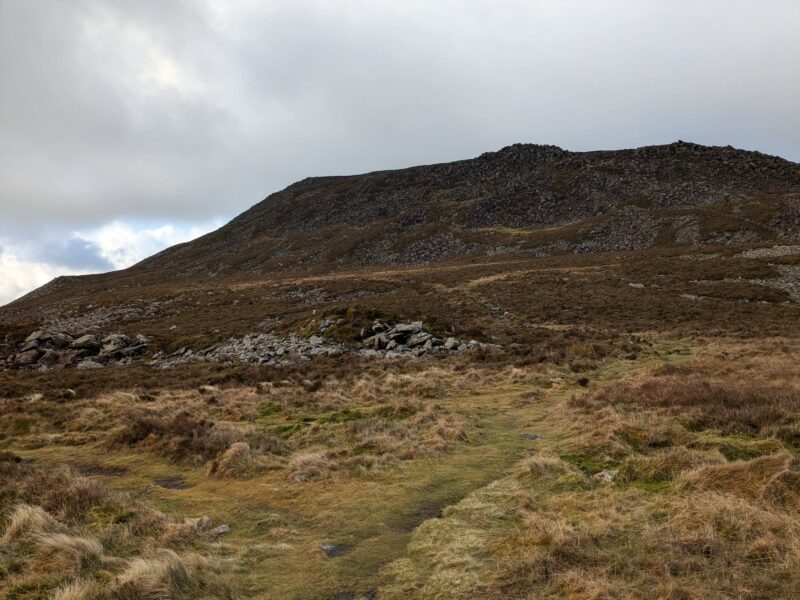
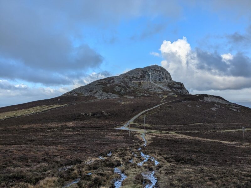
From the hillfort, the walk continues across open upland ground towards the summit area of Yr Eifl. Although the landscape feels spacious and remote, the gradients remain manageable, making this an enjoyable rather than strenuous mountain walk.
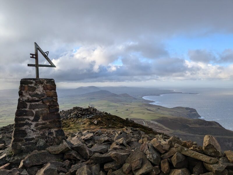
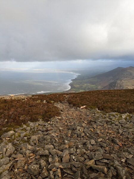
The views from higher ground are extensive, taking in the coastline of the Llŷn Peninsula, the Irish Sea, and the mountains of Snowdonia to the east. On clear days, the sense of openness and light is one of the highlights of the walk.
After the walk, it’s worth driving down to the secluded village of Nant Gwrtheyrn, a former quarrying settlement now home to a Welsh language centre. Caffi Meinir there is a lovely stop for coffee or lunch, and there’s a quiet beach to walk off the last of the day.
“This is our favourite walk outside the Eryri National Park — it’s so varied and the Iron Age roundhouses at Tre’r Ceiri are genuinely remarkable, some of the best preserved in Britain. One thing to be prepared for: the ground right underneath Yr Eifl can be very boggy, proper boots make a real difference. And if you can, go down to Caffi Meinir in Nant Gwrtheyrn afterwards — it’s a beautiful spot and a lovely way to finish the day.” — Delyth, Perthi Holiday Cottages
Our 17th-century cottages sit just above Beddgelert, with walking routes straight from the door.
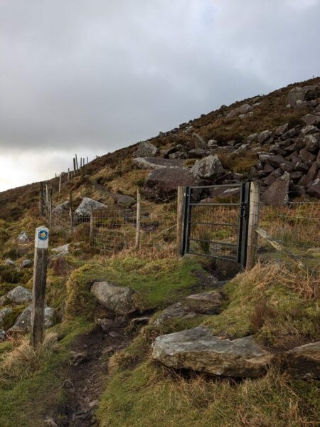
Step-by-Step Walk Guide
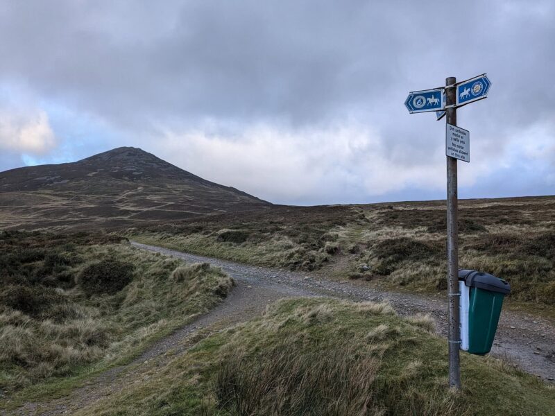
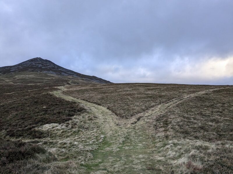
Numbered steps with photos to help you follow the route.
17th-Century Cottages in Beddgelert
Rated 4.98 on Airbnb from over 300 guest reviews


Stay in a converted water mill, a historic barn or a mountain lodge on Delyth’s family farm above the village — with wide Eryri views and walking routes from the door.